This project is now archived and was part of DDW23
This project is part of
Illuminating Landscapes
→
Illuminating Landscapes
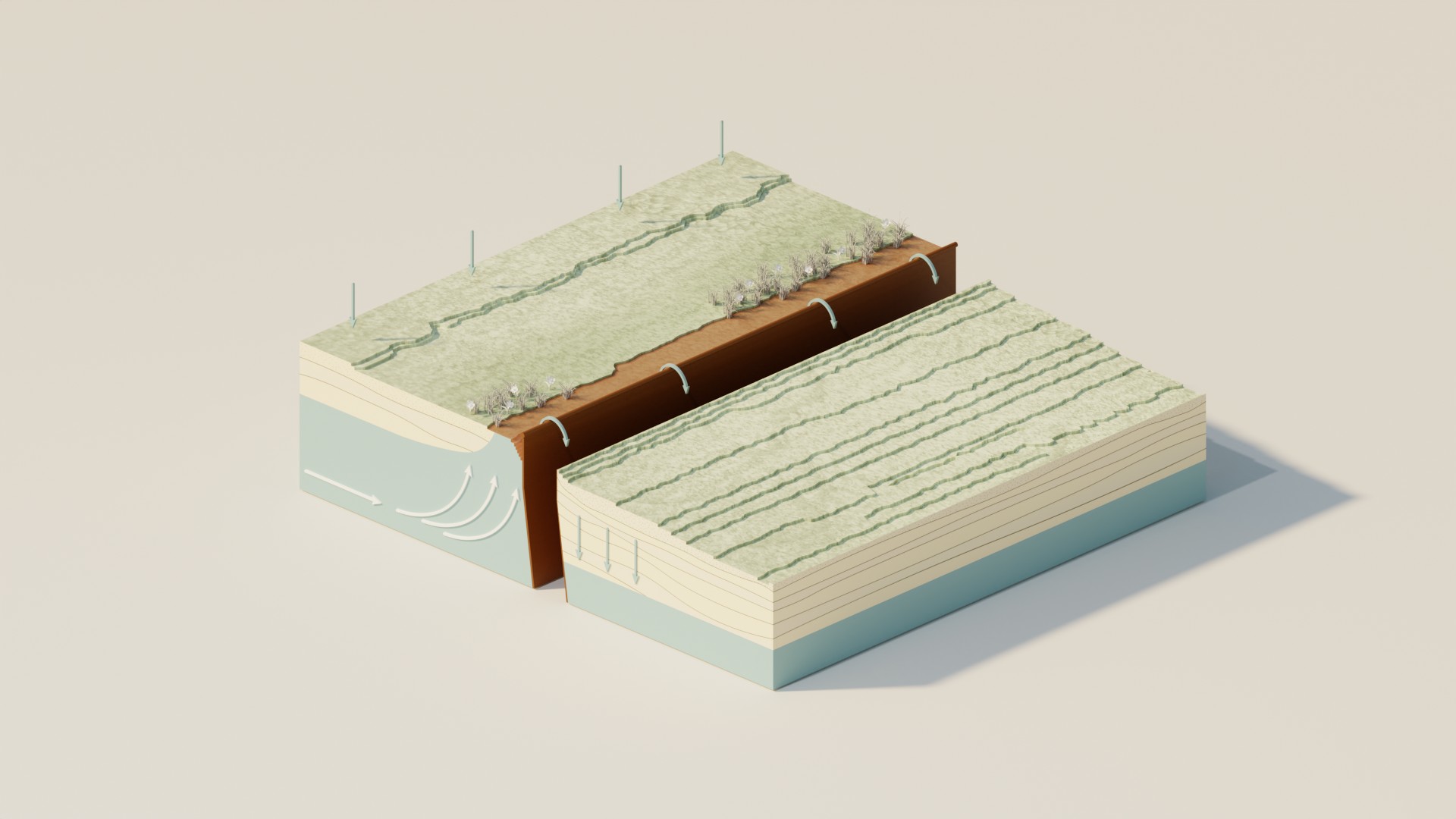
Landschapstegel Augmented Reality Breuk
The development from Augmented Reality as an enrichment for the carpet. In the Augmented Reality are system principles of the landscap visualized.
About Bureau Streekk
Landscape architect Thomas Jansen, area developer Merianne van der Wielen and GIS expert Lars Verhoofstad have joined forces in Bureau Streekk. By combining knowledge and innovation, the climate underlay has been developed, where soil and water systems form the basis for area development.